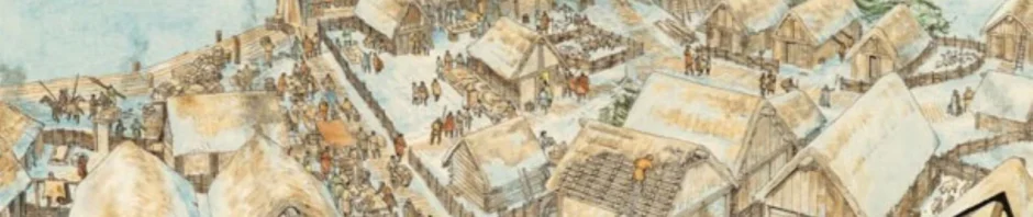
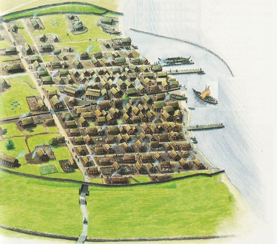
Locating early medieval Norse farmsteads and trading centers presents a unique physical challenge. The Norse built almost entirely with organic materials like timber, turf, and wattle. Centuries of rain and agricultural activity have erased the visible standing structures across Scandinavia and the broader North Atlantic. Researchers must look past the surface to find the subtle physical traces left behind by these communities. Uncovering a Viking Age settlement requires reading the dirt itself.
Reading the Soil for Longhouses
When a timber structure stands for decades, the posts holding up the roof eventually rot in the ground. This rotting process permanently alters the chemical composition and color of the earth. When excavators strip away the topsoil, they look for distinct dark circles arrayed in parallel lines. These soil discolorations are known as postholes. They outline the exact dimensions of a langhús (longhouse).
The central hearths leave a different signature. Baked clay and concentrated ash layers indicate exactly where families gathered to cook and stay warm through the winter. By mapping these discolorations, historians reconstruct the exact layout of the farmstead without a single piece of wood remaining intact.
Analyzing Middens and Refuse Pits
The most informative areas of any historical excavation are the trash dumps, known as middens. Norse communities threw broken tools, animal bones, and manufacturing waste into designated pits near their homes. These refuse piles provide direct evidence of diet, local economy, and trade connections.
A large concentration of fish bones mixed with iron slag suggests a coastal community engaged in fishing and local blacksmithing. Excavators routinely find broken pieces of soapstone bowls or imported glass beads within these layers. Finding such artifacts allows teams to trace the extensive Viking Age trade networks that connected isolated farms to global markets across Europe and the Middle East.
Modern Remote Sensing Technology
Surveying vast tracts of land with shovels is slow and expensive. Field teams now rely on non-invasive technologies to map subsurface anomalies before breaking ground. Ground-penetrating radar (GPR) sends radio pulses into the earth, detecting buried stone foundations, burial mounds, or buried ships. Magnetometry measures tiny variations in the Earth’s magnetic field caused by ancient hearths or iron smelting sites.
These technological applications allow researchers to pinpoint exactly where to dig, saving years of manual labor. They reveal the broader layout of trading towns and grave fields before a single trowel touches the dirt.
