As of October 25, 2026, Swedish-American identity at the American Swedish Historical Museum is being presented less as a single origin story than as a set of linked objects, words, designs, and immigrant memories. The museum’s special exhibition From Taste to Tech: 100 Years of Nordic Innovation & Impact runs from April 26, 2026, through February 7, 2027, and addresses Nordic-American influence in technology, design, food, pop culture, and related fields, according to xoxo sweden. That framing matters for readers interested in Viking heritage, but with a necessary caution: the available exhibition notes supplied for this piece do not describe a direct Old Norse, rune, or Viking Age artifact focus. The link is cultural memory, not a claim of unbroken Viking-era display.
Swedish-American Identity And Museum Evidence
Swedish-American Identity As A Curatorial Thread
The current exhibition program at ASHM uses the language of centennial reflection, immigrant material life, design, and innovation. That makes Swedish-American identity a curatorial thread rather than a fixed label. A visitor is not only asked to think about Sweden as an ancestral homeland. The exhibitions also ask how Swedishness was remade through migration, display, work, ocean travel, craft, glass, illustration, furniture, and American public memory.
The museum’s A Century in the Making: 100 Years of ASHM opened in April 2026 and remains on view until January 2027. It uses photographs, personal stories, and rarely seen artifacts to reflect on the institution’s development. Other current displays include Weaving a New Chapter: The Material Lives of Swedish Immigrants, the ocean-liner exhibition Swedish Taste on the High Seas, and Enchanting Transparency, a refurbished Linnaeus-Kalm Gallery display marking 300 years of Scandinavian glass making. ASHM’s current exhibition page also identifies highlighted material such as World War II uniforms, original art by Gustaf Tenggren, and mid-century modern furniture ASHM current exhibitions.
Why Viking Heritage Needs A Careful Frame
For an Old Norse audience, the temptation is to place every Nordic-American museum display under the sign of the Viking past. That would be too broad for the evidence here. The exhibitions named in the current research are mainly about modern innovation, centennial museum history, Swedish immigrant craft, transatlantic travel, Scandinavian glass, and twentieth-century visual culture. Those topics may be connected to wider Nordic heritage, but they should not be treated as direct Viking Age evidence.
That distinction is useful rather than limiting. Viking heritage in public culture often works as a deep ancestral reference point, while museums must work with named objects, dates, donors, categories, labels, and documented contexts. ASHM’s current exhibitions appear to build identity from traceable modern materials. That is a sounder method than turning the word “Nordic” into proof of Viking continuity.
Language, Labels, And Heritage Memory
Exhibition Titles As Cultural Arguments
Museum titles do interpretive work. From Taste to Tech joins food and technology in one phrase, suggesting that Nordic-American influence can be found in ordinary consumption as well as modern invention. A Century in the Making frames the museum itself as a historical subject. Weaving a New Chapter uses craft language to describe immigrant experience. Swedish Taste on the High Seas links national design to ocean travel, while Enchanting Transparency turns glassmaking into both material and metaphor.
This is where the topic meets language and linguistics. The exhibitions do not need an Old Norse grammar lesson to show how words shape identity. Labels such as “Nordic,” “Swedish,” “immigrant,” “innovation,” and “taste” organize how visitors understand the objects before them. Here, Swedish-American identity is built through classification as much as through display cases.
Material Culture As A Form Of Reading
Objects can be read, though not in the same way as saga prose or runic inscriptions. A knitted item, a piece of embroidery, a glass vessel, a furniture form, or an ocean-liner interior carries evidence of skill, movement, taste, and social aspiration. The long-term immigrant craft exhibition is especially relevant because weaving, knitting, embroidery, and lacemaking are named as traditions brought to America in the nineteenth and early twentieth centuries.
Such material evidence does not speak by itself. Museum labels, placement, lighting, catalog entries, and visitor expectations shape interpretation. That is why cautious language matters. A woven object can support a claim about craft tradition if its context is known. It cannot, by itself, prove a sweeping statement about all Swedish immigrants or all descendants. Good heritage interpretation keeps that boundary visible.
- Documented date ranges: April 26, 2026, to February 7, 2027, for From Taste to Tech; April 2026 to January 2027 for A Century in the Making.
- Named themes: Nordic-American innovation, museum memory, immigrant textile work, ocean-liner design, Scandinavian glass, and twentieth-century visual culture.
- Evidence limits: the supplied current-exhibition notes do not identify a specific Viking Age language, rune, or artifact component.
From Viking Memory To Modern Nordic Design
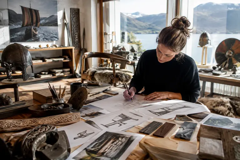
Continuity Without Overclaiming
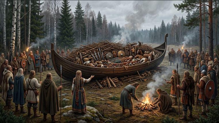
One of the most useful lessons from ASHM’s current program is that continuity does not have to mean sameness. A Viking Age ship burial, a nineteenth-century Swedish immigrant textile, a 1928 ocean liner, and a mid-century chair belong to different historical settings. They should not be collapsed into one smooth story. Yet they can all enter modern conversations about Nordic identity because later communities select, preserve, name, and reinterpret the past.
The exhibition on the ocean liner Kungsholm, launched in 1928 according to the provided research, is a good example. Its Art Deco interiors and Swedish design at sea belong to transatlantic modernity, not the Viking Age. Still, ships carry strong symbolic weight in Nordic memory. A careful reading can compare the persistence of maritime imagery without claiming direct descent from Viking ships to twentieth-century liner design.
Craft, Illustration, And Public Imagination
Gustaf Tenggren’s original art, mid-century modern furniture, Scandinavian glass, and immigrant textile work all point toward the visual side of heritage. These are not merely decorative categories. They show how people come to recognize a culture through repeated forms: a pattern, a silhouette, a surface, a color palette, or a familiar storybook image. Readers interested in creative archives beyond museum display may find a parallel concern with public memory at The Sketchbook Project, where everyday visual practice also becomes part of cultural record.
For Old Norse studies, this point has real value. Modern audiences often meet the Norse past through images before they meet texts: horned helmets in popular art, knotwork, ships, runes, shields, and dark northern scenery. ASHM’s current exhibitions, as described in the research, seem to work in a different period, yet they still show how visual culture trains public recognition. That process affects how people later imagine Viking heritage as well.
Old Norse News has treated similar questions in its discussion of Swedish heritage exhibitions at ASHM, especially where museum objects invite cautious links between myth, craft, and cultural memory. The same caution applies here: connection is not the same as proof.
Swedish-American Identity At ASHM
ASHM’s current exhibitions show Swedish-American identity as a record of movement across time: migration, institutional memory, shipboard design, textile practice, glassmaking, illustration, furniture, food, technology, and popular culture. That record is modern and evidence-based. It does not need to pretend that every Swedish-American object is a Viking survival.
For readers drawn to Viking heritage, the value lies in method. The museum program demonstrates how identity is assembled through named exhibitions, dated displays, preserved objects, and carefully chosen language. A Viking Age past may stand behind modern Nordic imagination, but the current ASHM material described here is strongest when read on its own terms.
That makes the exhibition program useful for language and heritage study. It shows how a community names itself, how a museum frames belonging, and how objects become evidence only when their contexts are handled with care. For readers of Norse history, Swedish-American identity at ASHM is best understood as a modern cultural formation that can converse with Viking memory without being reduced to it.